Through our commitment to accuracy, precision, and safety, we strive to develop Aletair as a industry leader in the field of automated geophysical surveying.
Our Inspiration
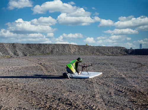
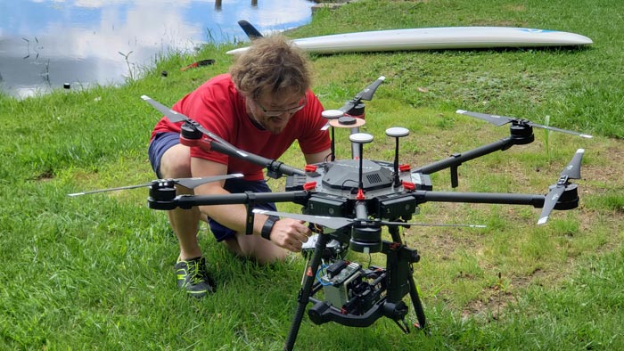
Alitair geophysical and remote sensing surveys leverage recent advances in UAV technology and successful efforts to miniaturize sensors. This allows us to harness a unique opportunity to deploy compact terrestrial and UAV-mounted systems for wide-area high-resolution investigation of the surface and the subsurface. With Aletair patented data processing and visualization workflows, our non-invasive surveys allow identification of anthropogenic targets previously only identifiable through extensive visual ground surveys and wide-area excavation.